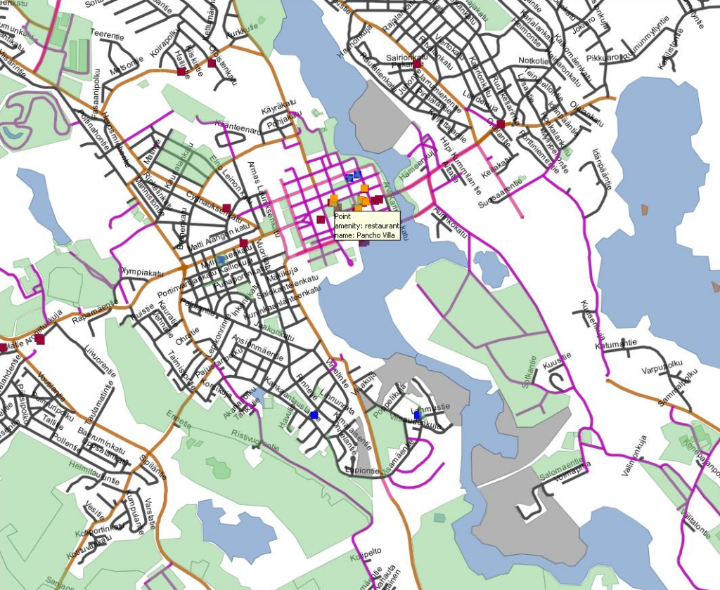
Welcome to GIS Data UK. This site is operated by KGIS and is part of our set geographical information system sites providing users with fast, usual maps over the internet. Running on the same infrastructure as Unclaimed Land (mapping unregistered land in the UK) and Rights of Way UK (free rights of way maps) we can provide our users great mapping services.

What We Do
GIS Data providers users with free maps displaying government data. Governments provide fantastic map data for a wide range of subjects however they are provided in dataset form rather than display on an actual map. To display the data on a map, for the normal user, is often a tough task requiring a beefy PC. Our task is to provide a system which takes this data and displays it on a map for users, from any device, to quickly and easily look up.
We are in the process of uploading the data and programming this site. We organise maps based on a certain topic, for example salting routes or bus services, for ease of use. Check back soon to have a look at our maps.
